Maps of London
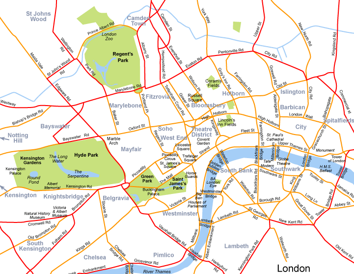
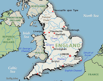
London is the capital city of the United Kingdom, located in England’s southeast. The city stretches for 1,479 square kilometers, and is bisected medially by the Thames, the second-longest river in England.
As the city’s layout snakes along the Thames, it follows no grid (or, some might say, logic) and can present a real challenge to tourists. It’s a wonderful place to go for a wander and simply stumble upon major sights, ancient alleyways, half-hidden pubs, markets and galleries, but having a city map handy while you’re sightseeing is still highly recommended.
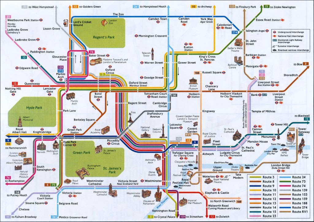
Get started with BootsnAll’s interactive map of London, where you’ll find lots of London attractions (including visitors’ information like hours, prices, etc.), as well as hotels and hostels, allowing you to pinpoint an ideal home base for your stay in London.
And here are a few more maps to help you get oriented within London, England and the UK:
__________________________
Recommended maps of London:
Streetwise London Map – Laminated City Center Street Map of London, England